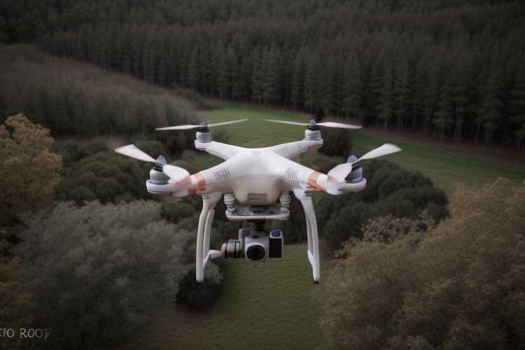
Surveying Beyond Boundaries: The Role of Drone Mapping in Offshore and Coastal Mapping
This blog explores how drone mapping surveys are altering coastal and marine research by providing efficiency, safety, and precision that were previously difficult to attain using traditional methods.

Introduction
Technology has drastically changed the way we explore and map different areas. Among the most cutting-edge advancements, drone mapping surveys have emerged as a game changer. While drones are currently widely used for land surveys and infrastructure planning, their applications are extending to more demanding areas, such as offshore and coastal mapping.
This blog explores how drone mapping surveys are altering coastal and marine research by providing efficiency, safety, and precision that were previously difficult to attain using traditional methods.
Why Offshore and Coastal Mapping crucial
- Marine Infrastructure Projects: Dredging, port building, and offshore wind farms necessitate accurate seabed information.
- Coastal Erosion Monitoring: Recognizing erosion patterns helps to protect coastal communities and ecosystems.
- Disaster Management: For successful disaster preparation during coastal flooding and hurricanes, real-time data are required.
- Environmental Conservation: Environmental conservation entails monitoring coral reefs and marine biodiversity to ensure that resources are managed sustainably.
Traditional coastal mapping methods, such as using boats outfitted with sonar equipment, are effective but time-consuming, expensive, and occasionally dangerous. In this case, drone mapping surveys are a better option.
Drone Mapping Surveys Improve Offshore and Coastal Mapping:
- Access to Difficult Locations
Drones can readily fly across rocky terrain, cliffs, or shallow waters that are difficult for boats or persons to access. They use GPS technology to acquire high-resolution photos of these difficult-to-access places, assuring full data coverage.
- Accurate Real-Time Data Collection
Drone mapping surveys produce very accurate geographical data using aerial images, photogrammetry, and LiDAR. This real-time data is extremely useful for monitoring quick changes such as silt shifts or coastline erosion.
- Cost and time efficiency
Compared to traditional survey methods that need huge vessels, heavy equipment, and several workers, drones save expenses dramatically. A single drone can map large areas in hours, saving time and labor while remaining accurate.
- Improved Safety for Surveyors
Unpredictable weather and severe tides are common risks in offshore surveys. Drones reduce the need for surveyors to enter dangerous environments, ensuring their safety while collecting critical data remotely.
Drone Mapping for Coastal and Marine Surveys
- Shoreline Erosion Studies
Drones can track coastal changes over time by taking aerial images at regular intervals. Coastal management teams use these findings to create erosion control methods and safeguard sensitive regions.
- Bathymetric surveys
Drones, unlike sonar equipment, cannot directly measure underwater terrain. However, they can supplement standard bathymetry studies. Drones explore shallow waters and provide visual data, enhancing the accuracy of underwater models.
- Offshore Infrastructure Development
Ports, offshore rigs, and wind farms all require extensive information regarding wave patterns, seabed features, and environmental conditions. Drone mapping survey provide current information to ensure the success of such operations.
- Environmental Monitoring
Drones equipped with multispectral cameras monitor coral reefs, detect oil spills, and follow marine animal populations. Conservationists profit from this non-invasive method for protecting marine environments.
Case Studies: Drone Mapping in Action
- Coastal Flood Risk Assessment in the Netherlands: In the Netherlands, drone mapping helped detect flood-prone areas and assist government plans for flood barriers.
- Monitoring Coral Bleaching in Australia's Great Barrier Reef: Researchers employed drone mapping surveys to track coral bleaching occurrences and develop targeted conservation strategies.
- Shallow Water Surveys in the UAE: Drones mapped the UAE's coastlines to enable dredging and maritime development projects.
The Challenges and Future of Drone Mapping in Offshore Surveys
Despite its numerous benefits, drone mapping surveys encounter significant problems in coastal and offshore applications:
- Weather Dependency: Drones cannot function in high winds, rain, or stormy sea conditions.
- Battery Limitations: Longer missions may necessitate several drones or battery replacements.
- Data Integration: Combining drone data with sonar or satellite data for comprehensive marine mapping might be difficult.
However, the future is bright. Drone technological advancements, such as enhanced flight duration, AI-powered data processing, and integration with underwater drones, are expected to address these issues. The growing use of drone mapping surveys suggests that they will soon become a regular tool in marine exploration and environmental management.
Conclusion
The utilization of drone mapping surveys in offshore and coastal environments is opening up new opportunities for industry and conservation activities. Drones provide a safer, faster, and more cost-effective approach to map complicated ecosystems, whether for erosion monitoring, marine infrastructure design, or biodiversity conservation. As technology progresses, drones will play an increasingly important role in guaranteeing the long-term development of our shores and oceans.
For enterprises and governments looking to scan beyond borders, drone mapping is opening the path for smarter, more efficient sea exploration.
What's Your Reaction?


